Università di Pisa: Fiber-Optic Sensing for Geological, Geophysical and Environmental Applications, Pisa 29 June – 3 July 2026

From Research to Real World Applications: DAS for Geoscience
A dense seismic array is normally limited by how many instruments a project can afford to install and service. Read a fiber instead and the channel count stops being a budget line: one cable becomes thousands of measurement points at a spacing the interrogator sets. That is why DAS for geoscience has moved from a methods paper to a working tool in about a decade, and why the training gap is now the bottleneck rather than the hardware.
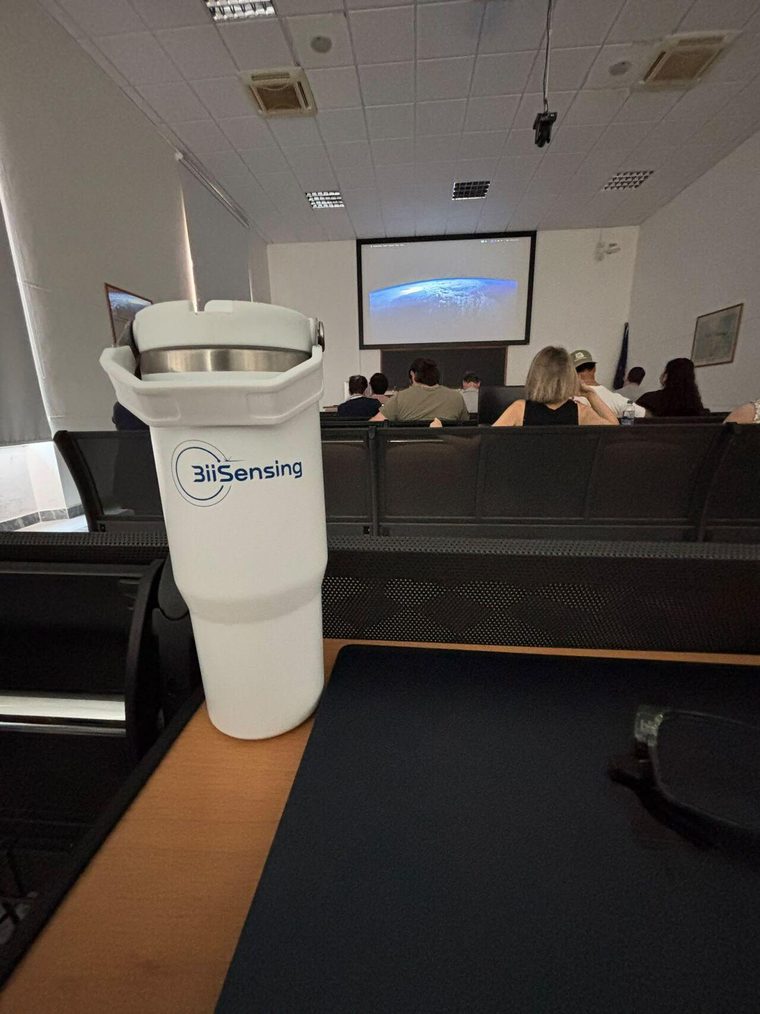
BiiSensing took part in the first Summer School on Fiber-Optic Sensing for Geological, Geophysical and Environmental Applications, held at the Department of Earth Sciences of the University of Pisa from 29 June to 3 July 2026, coordinated by Prof. Francesco Grigoli with Dr. Emanuele Bozzi as operational manager.
Why DAS for geoscience took hold so fast
Three properties line up with what field geophysics actually needs.
Spatial density. Channel spacing down to fractions of a meter over kilometers of cable produces an array geometry that would be impractical to build from discrete sensors. For wavefield problems, where sampling determines what can be resolved at all, that is the difference between a usable dataset and an aliased one.
Deployability. There is nothing to power in the field, and that is most of why DAS for geoscience travels well. Our Eagle DAS reads up to 50 km of fiber per channel from a single end, 100 km with optical repeaters, with acquisition up to 10 kHz, a gauge length tunable from 10 m and channel spacing from 0.1 m. Extending an experiment means extending cable.
Existing cable. Telecom infrastructure crosses exactly the terrain geoscientists want to instrument, including the seabed. Unused strands in installed cable can often be read directly, which puts arrays in places where a permitting and installation campaign would have ended the project.
What the workshop got right
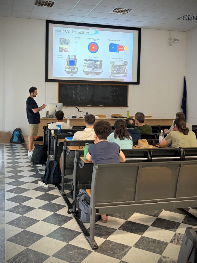
The structure is worth noting, because it addresses the real difficulty. The program moved from an introduction to fiber optic sensing and data handling, to an instrument demonstration in an urban setting, to a hands-on session processing the data that had just been acquired, and then to applications and case studies.
That order matters. The hard part of DAS for geoscience is not the physics of the measurement, it is what the data means. A DAS record is strain rate along a cable whose coupling to the ground varies along its length, with a directional sensitivity set by the cable’s geometry rather than the target’s. Interpreting it well takes practice with real records, which is exactly what a hands-on session with freshly acquired data provides and what a lecture cannot.
From a DAS for geoscience array to a monitored asset
The gap between a successful experiment and an operating monitoring system is mostly not scientific. Four things change:
- Continuity. A campaign runs for weeks. Monitoring runs for years, which makes calibration stability and interrogator reliability the governing specifications rather than peak sensitivity.
- Interpretation at volume. A high channel count at high acquisition rates produces more data than anyone reviews manually. The useful output is a classified, located event, not a waveform archive.
- Somebody to act on it. An alert with no defined response is overhead. This is normally where a deployment succeeds or stalls.
- Local support. A system on a mine site or a volcano flank needs people who can service it. We deliver training in Spanish and English for this reason.
Where this lands in practice is in mining, seismic and natural hazard monitoring, and in structural health monitoring where the same instrumentation watches engineered structures instead of the ground.
The DAS for geoscience arrays nobody had to install
One line of work deserves separate mention, because it changes what is possible rather than what is convenient. Telecom cables already cross seismically active margins, urban basins and ocean floors, and several groups have shown that ambient noise recorded on those existing cables can be processed into subsurface structure and used to detect earthquakes.
For regions where instrument networks are sparse, that is a different proposition from a better sensor. It means the array is largely pre-installed, and the remaining work is an interrogator at a landing station and the processing to make sense of what comes back. Latin America has exactly the combination that makes this interesting: high seismic exposure, long coastlines and a relatively thin permanent network.
Why DAS for geoscience is worth our time
BiiSensing is the first Latin American company dedicated to fiber sensing and data analysis through optical fiber, and our work is backed by ongoing collaboration with research centers across the region. Events like Pisa are where the methods that end up in deployed systems get argued over first. Being in the room while that happens is cheaper than reading the conclusions two years later.
Event details
- Event: 1st Summer School: Fiber-Optic Sensing for Geological, Geophysical and Environmental Applications
- Dates: 29 June to 3 July 2026
- Venue: Dipartimento di Scienze della Terra, via Santa Maria 53, Pisa, Italy
- Coordinator: Prof. Francesco Grigoli, University of Pisa
Talk to an Engineer and tell us what you need to monitor. We will tell you whether fiber sensing is the right fit, and how to deploy it.
Lectures exploring the latest advances and applications in fiber optic sensing for infrastructure, energy, geophysics, and environmental monitoring.